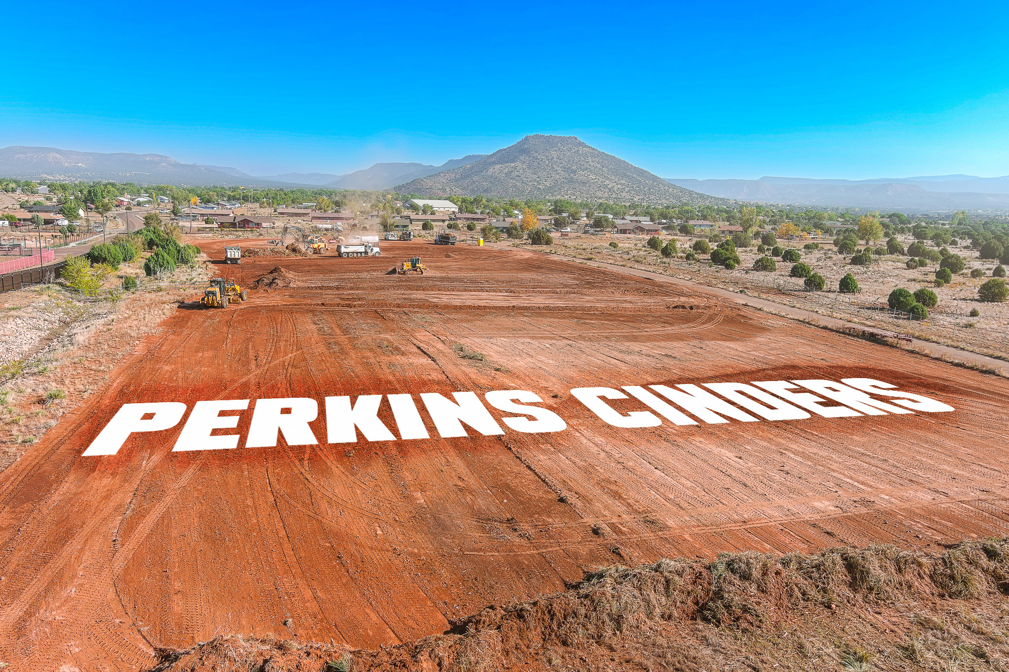

Perkins Cinders
Aerial Topographical Mapping
You may need a topographic survey when making property improvements or before starting architectural projects on your parcel of land. They allow construction professionals to get familiar with your property and create a design that accommodates elevation or landscape changes.The purpose of a topographic survey is to determine changes in elevation on a parcel of land, providing us with a wealth of information regarding the property. In many cases, a topographic survey is an essential step in planning land use, as not all areas are suited for all projects.

Why Use Topographic Survey
Topographic surveys are often used to prepare for construction or engineering projects, and can be used to aid in the design of infrastructure, housing, or property development. They can also be used to design irrigation systems that optimize water usage and minimize water waste. Topographic surveys can also be used as legal documents to define property boundaries.
Topographic surveys are also known as topo or detail surveys. The most common and recommended methods for topographic surveying are triangulation and traverse. Triangulation uses angular measurements, while traverse uses both horizontal and angular measurements. Surveyors often use GPS and total stations to take measurements.

